Trekking
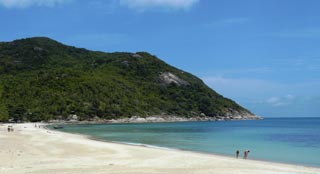
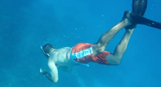
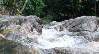
If you go inland, you will soon discover that most of Koh Phangan is comprised of virgin jungle and limestone mountains. The hinterland is almost completely undeveloped which makes it perfect for trekking and camping. Many of the established trekking routes run down the eastern coast, and these trails lead you to a number of isolated beaches and sheltered coves. Here, you can rest up and take a swim before moving on. Other trails take you deeper into the interior, such as to the beautiful Phaeng waterfalls. Here you can cool off with a quick dip, before continuing up the hill to get a spectacular view of the whole island. One of the best treks is to the top of Kao Ra Mountain, located in the island's north-central area. At 630m, the Kao Ra summit is the highest point on the island and offers spectacular views. To get there, you can take a motorbike or scooter to the setting off point which is off the north-south, Chaloklum /Thongsala road. Driving from Chaloklum in a southerly direction, look for the signboard on the left-hand side that says, "Khao Ra Bungalows." It is about 500m down the road after you pass Wat Pha Saa Tham. Take the left turn and continue until you reach the Khao Ra water filtering facility which is surrounded by rambutan trees. Here you will see another sign for "Khao Ra Bungalows." Park up and start your trek up the slope. If you are reasonably fit, it will take you around 1 ½ - 2 hours to reach the top, but pace yourself, as the last stretch is the steepest and toughest. You will be rewarded with magnificent views, as far as Koh Tao on a clear day. You will be pleased to know that your journey back down will only take you about 45 mins, so allow 2-3 hours for the round trip, including time at the top to take some quality pics. It is better to climb Kao Rah on a dry day, as the trail can be very slippery when it rains; and as the afternoons can get extremely hot, the best time to go is just after dawn. Another top trek is to Paradise Waterfall (see separate highlight), off the same road as Kao Ra, but further north. There are also good hiking opportunities along a variety of trails into the heart of Than Sadet National Park. Again, these are accessed from the same north-South road. Decent footwear is needed and take some bottles of water and food. A first aid kit is also a good idea. You need to be in reasonable physical shape for most treks on the island. Bear in mind that it is easy to get lost, so you might want to consider hiring a guide, or at least have access to GPS maps on your phone. A guide costs around 500B a day, and the guides are based at Phaeng Waterfall National Park (Tel: +66 77238275).

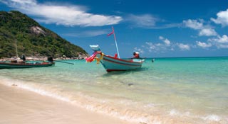
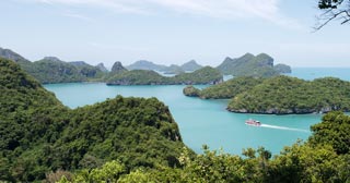
Ko Pha Ngan


Ko Pha Ngan